 The original uploader was Yesuitus2001 at German Wikipedia. · CC BY-SA 2.5
to Swiss Alps
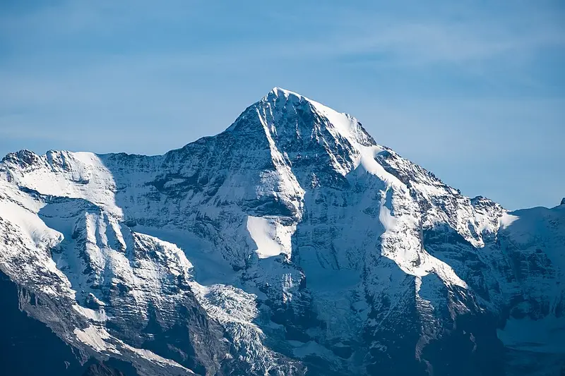
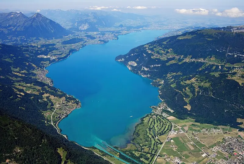
Eiger, Mönch and Jungfrau above two lakes
6 days · 853 km · by car, two people
Real routes and published prices — no guesses
- Fuel€12151 litres at an average €2.37 a litre
- Price per litre on the waySwitzerland €1.85 · Germany €2.20 · France €2.21 · Netherlands €2.43
- Motorway tolls in France≈ €2.00An allowance: 20 tolled km at the country's usual rate — we don't hold its published tariff yet.
- Swiss motorway vignette€42.89Vehicle or trailer up to 3.5 t · 1 Dec 2025 – 31 Jan 2027 (14 months)
- 5 nights€564≈ €113 a night — every night is listed under “Where you'll sleep”
- Food€297≈ €50 a day for 6 days, cheap eats
Fuel: the EU Weekly Oil Bulletin, week of 2026-10-04. Tolls, vignettes and ferries: the operators' and authorities' published prices. Nights and food: typical prices in each country for the kind chosen.
- Vignette for Switzerland€42.891 Dec 2025 – 31 Jan 2027 (14 months) · Vehicle or trailer up to 3.5 t · Buy it from the official seller
- Motorway tolls in France≈ €2.00An allowance: 20 tolled km at the country's usual rate — we don't hold its published tariff yet.
- Low-emission zoneUtrecht: Milieuzone
Only official sellers are linked.
- Night 1 · Worms€80Jugendherberge Worms · hostel
- Night 2 · Oberösch · 49 km from Interlaken€121Ruedswilbad · hotel
- Night 3 · Oberösch · 49 km from Interlaken€121Ruedswilbad · hotel
- Night 4 · Oberösch · 49 km from Interlaken€121Ruedswilbad · hotel
- Night 5 · Oberösch · 49 km from Interlaken€121Ruedswilbad · hotel
Priced for budget hotels: typical prices in each country, not a booking.
Sources: EU weekly fuel bulletin · operators' published tariffs · Wikipedia · map © OpenStreetMap contributors
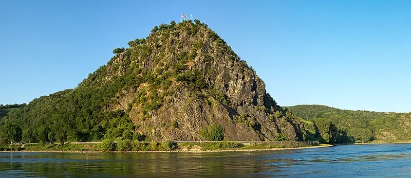
- LoreleiThe Lorelei is a 132-metre-high, steep slate rock on the right bank of the River Rhine in the Rhine Gorge at Sankt Goarshausen in Germany, part of the Upper Middle Rhine Valley UNESCO World Heritage Site.341 km
Lorelei
Day 1 · 85 km before tonight's stop
The Lorelei is a 132-metre-high, steep slate rock on the right bank of the River Rhine in the Rhine Gorge at Sankt Goarshausen in Germany, part of the Upper Middle Rhine Valley UNESCO World Heritage Site.
Wikipedia · Jörg Braukmann · CC BY-SA 4.0
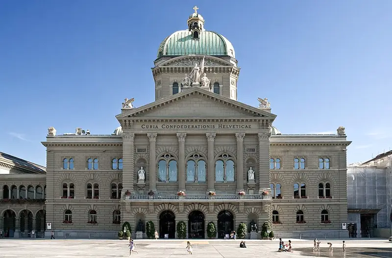
- Federal Palace of SwitzerlandThe Federal Palace is a building in Bern housing the Swiss Federal Assembly and the Federal Council.796 km
Federal Palace of Switzerland
Day 2 · 56 km before tonight's stop
At the beginning of the 21st century, the first comprehensive renovation of the Federal Palace took place.
Wikipedia · Flooffy · CC BY 2.0
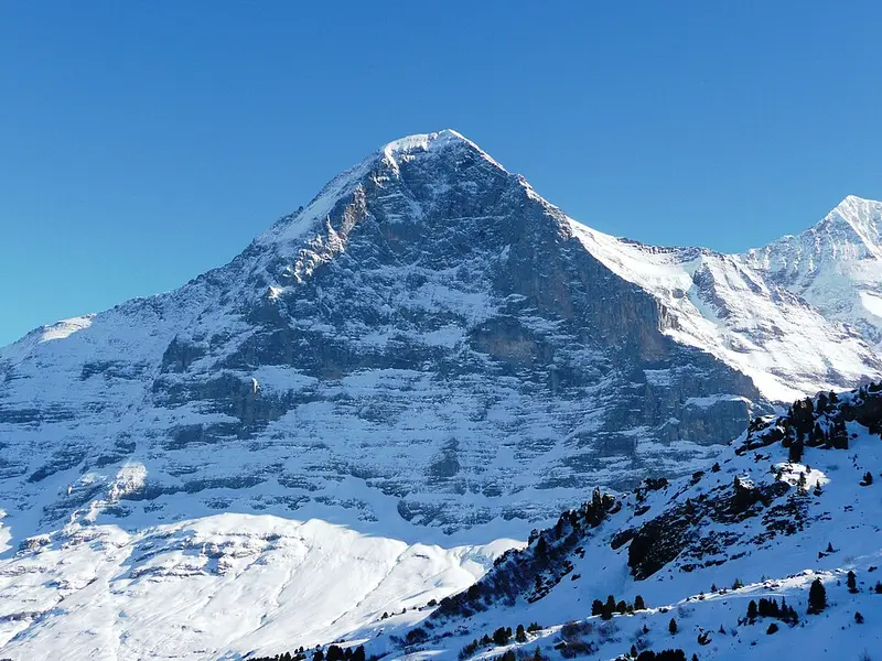
- EigerThe Eiger is a 3,967-metre mountain of the Bernese Alps, overlooking Grindelwald and Lauterbrunnen in the Bernese Oberland of Switzerland, just north of the main watershed and border with Valais.16 km
Eiger
Day 3 · 16 km from Interlaken
The most notable feature of the Eiger is its nearly 1,800-metre-high north face of rock and ice, the biggest north face in the Alps.
Wikipedia · qwesy qwesy · CC BY 3.0
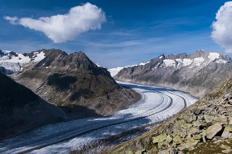
- Aletsch GlacierThe Aletsch Glacier or Great Aletsch Glacier is the largest glacier in the Alps.32 km
Aletsch Glacier
Day 3 · 32 km from Interlaken
The Aletsch Glacier or Great Aletsch Glacier is the largest glacier in the Alps.
Wikipedia · Christian David · CC BY-SA 4.0
- MönchThe Mönch at 4,110 metres is a mountain in the Bernese Alps, in Switzerland.18 km
Mönch
Day 3 · 18 km from Interlaken
The summit was first climbed on record on 15 August 1857 by Christian Almer, Christian Kaufmann, Ulrich Kaufmann and Sigismund Porges.
Wikipedia · Christian David · CC BY-SA 4.0
- Lake ThunLake Thun is an Alpine lake in the Bernese Oberland in Switzerland named after the city of Thun, on its northern shore.11 km
Lake Thun
Day 3 · 11 km from Interlaken
3 km2 in surface area, it is the largest Swiss lake entirely within a single canton.
Wikipedia · Carsten Steger · CC BY-SA 4.0