 Ximonic (Simo Räsänen) · CC BY-SA 4.0
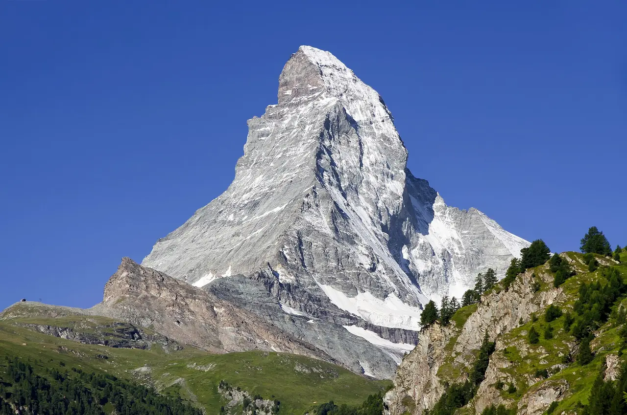
to Zermatt & the Matterhorn
The car stays in Täsch; the train climbs to Zermatt under the Matterhorn
5 days · 485 km · by car, two people
Real routes and published prices — no guesses
- Fuel€6329 litres at an average €2.17 a litre
- Price per litre on the wayAustria €1.82 · Switzerland €1.85 · Germany €2.18
- Austrian motorway vignette€12.80Vehicle up to 3.5 t (car, motorhome or car + trailer) · 10 days
- Swiss motorway vignette€42.89One motor vehicle up to 3.5 t (car or motorhome) · 1 Dec 2025 – 31 Jan 2027 (14 months)
- 4 nights€441≈ €110 a night — every night is listed under “Where you'll sleep”
- Food€289≈ €58 a day for 5 days, cheap eats
Fuel: the EU Weekly Oil Bulletin, week of 2026-10-18. Tolls, vignettes and ferries: the operators' and authorities' published prices. Nights and food: typical prices in each country for the kind chosen.
- Vignette for Austria€12.8010 days · Vehicle up to 3.5 t (car, motorhome or car + trailer) · Buy it from the official seller
- Vignette for Switzerland€42.891 Dec 2025 – 31 Jan 2027 (14 months) · One motor vehicle up to 3.5 t (car or motorhome) · Buy it from the official seller
- Low-emission zoneMunich: Umweltzone (green Umweltplakette)
- On the roadGermany sets no winter-tyre dates — the duty bites on ice, packed snow or slush, and then the tyres must carry the alpine symbol (three peaks and a snowflake).
- On the roadAustria, 1 November – 15 April: on a snow- or ice-covered road a car needs winter tyres on every wheel, or chains on two driven wheels.
- On the roadBreuil-Cervinia: in season when you travel (24 October–2 May).
Only official sellers are linked.
- Night 1 · Feldkirch€78Hotel Hecht · hotel
- Night 2 · Täsch · 6 km from Zermatt€121Hotel City · hotel
- Night 3 · Täsch · 6 km from Zermatt€121Hotel City · hotel
- Night 4 · Täsch · 6 km from Zermatt€121Hotel City · hotel
Priced for budget hotels: typical prices in each country, not a booking.
Sources: EU weekly fuel bulletin · operators' published tariffs · Wikipedia · map © OpenStreetMap contributors
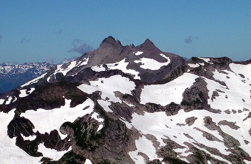
- GrauspitzThe Grauspitz is a mountain in the Rätikon range of the Alps, located on the border between Liechtenstein and Switzerland.244 km
Grauspitz
Day 2 · 23 km after last night's stop
With an elevation of 2,599 metres above sea level, the Grauspitz is the highest mountain in Liechtenstein.
Wikipedia · Svickova · Public domain
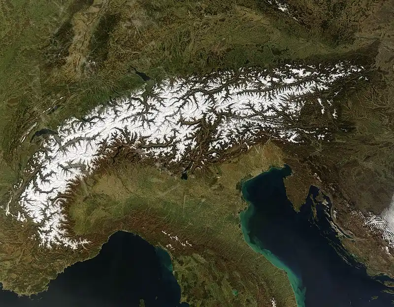
- AlpsThe Alps are some of the highest and most extensive mountain ranges in Europe, stretching approximately 1,200 km across several Alpine countries : Monaco, France, Switzerland, Italy, Liechtenstein, Germany, Austria, and Slovenia.371 km
Alps
Day 2 · 113 km before tonight's stop
The Alps are some of the highest and most extensive mountain ranges in Europe, stretching approximately 1,200 km across several Alpine countries : Monaco, France, Switzerland, Italy, Liechtenstein, Germany, Austria, and Slovenia.
Wikipedia · Terra (EOS AM-1) satellite · Public domain
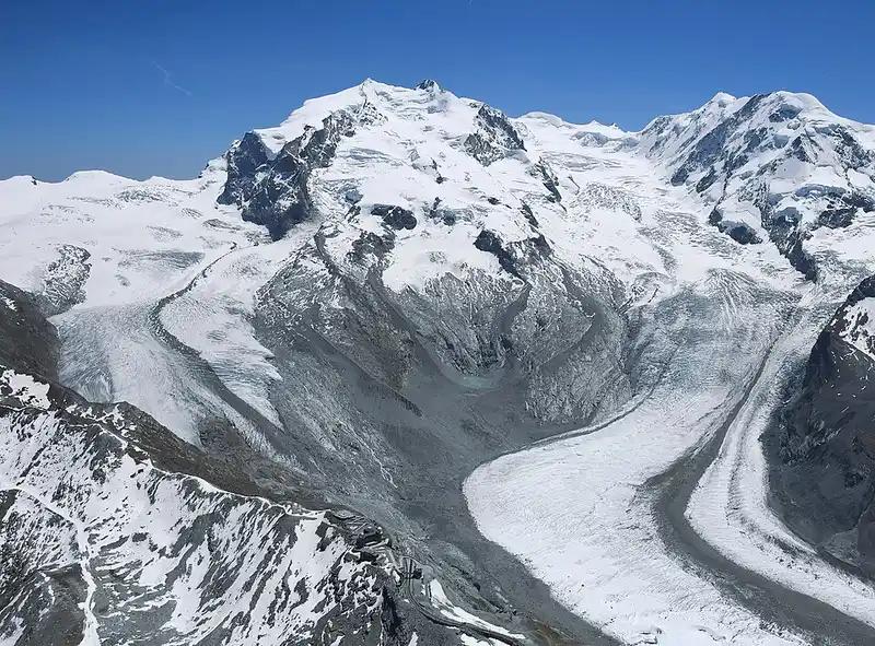
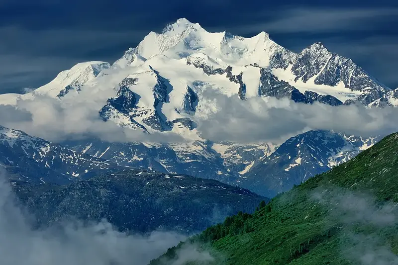
- Monte RosaMonte Rosa is a mountain massif in the eastern part of the Pennine Alps, on the border between Italy and Switzerland.16 km
Monte Rosa
Day 3 · 16 km from Täsch
The great east wall was first climbed in 1872, from Macugnaga by Richard Pendlebury with his brother, W. M. Pendlebury, Rev.
Wikipedia · Carsten Steger · CC BY-SA 4.0
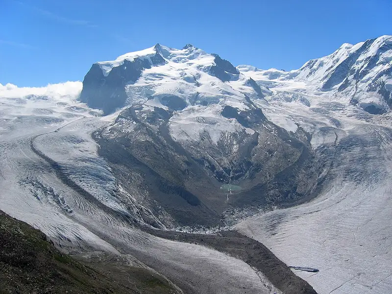
- DufourspitzeThe Dufourspitze is the highest peak of Monte Rosa, an ice-covered mountain massif in the Alps.16 km
Dufourspitze
Day 3 · 16 km from Täsch
The Dufourspitze is the highest peak of Monte Rosa, an ice-covered mountain massif in the Alps.
Wikipedia · TobiasBender · CC BY-SA 3.0
- Dom (mountain)The Dom is a mountain of the Pennine Alps, located between Randa and Saas-Fee in the canton of Valais in Switzerland.7 km
Dom (mountain)
Day 3 · 7 km from Täsch
With a height of 4,546 m, it is the seventh highest summit in the Alps, overall.
Wikipedia · Zacharie Grossen · CC BY-SA 3.0
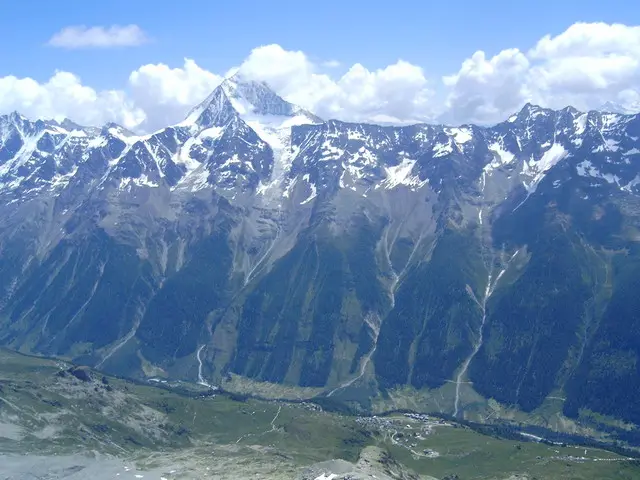
- BietschhornThe Bietschhorn is a mountain in canton Wallis to the south of the Bernese Alps in Switzerland.36 km
Bietschhorn
Day 3 · 36 km from Täsch
It was first climbed on 13 August 1859 by Leslie Stephen, with guides Anton Siegen, Johann Siegen and Joseph Ebener.
Wikipedia · User Telnet on de.wikipedia · CC BY-SA 3.0