 Tommytrouble at English Wikipedia · Public domain
to Cornwall
Cliffs, coves and St Michael's Mount at the far end of England
7 days · 566 km · with a caravan, two people
Real routes and published prices — no guesses
- Fuel€12654 litres at an average €2.34 a litre
- Price per litre on the wayUnited Kingdom €2.35
- London Congestion Charge€21.25Any motor vehicle, one charge a day · 1 day
- 6 nights€126≈ €21 a night — every night is listed under “Where you'll sleep”
- Food€273≈ €39 a day for 7 days, cheap eats
Fuel: the EU Weekly Oil Bulletin, week of 2026-10-25. Tolls, vignettes and ferries: the operators' and authorities' published prices. Nights and food: typical prices in each country for the kind chosen.
- London Congestion Charge€21.25
- Low-emission zoneLondon: ULEZ — £12.50/day if non-compliant (covers all Greater London)
- Before you goUnited Kingdom: we hold no official register of road limits there — heights come from the map alone, so watch the signs.
- On the roadMain roads only: 2 short stretches of smaller road remain where no main road exists — 16.3 km in all (Delford Bridge, Keybridge Bridge). Check them before you leave.
- On the roadUnpaved road per the map: 3 km — the longest 2.3 km (compacted gravel) at km 165, near a stop or tonight's bed.
Only official sellers are linked.
- Night 1 · Salisbury€21Camping & Caravan Club Salisbury · motorhome stop
- Night 2 · Penzance€21Ponsandane Camping · campsite
- Night 3 · Penzance€21Ponsandane Camping · campsite
- Night 4 · Penzance€21Ponsandane Camping · campsite
- Night 5 · Penzance€21Ponsandane Camping · campsite
- Night 6 · Penzance€21Ponsandane Camping · campsite
Priced for campsites: typical prices in each country, not a booking.
Sources: EU weekly fuel bulletin · operators' published tariffs · Wikipedia · map © OpenStreetMap contributors
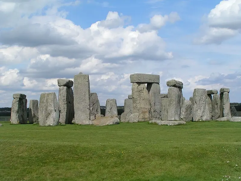
- StonehengeStonehenge is a prehistoric megalithic structure on Salisbury Plain in Wiltshire, England, two miles west of Amesbury.166 km
Stonehenge
Day 2 · 8 km after last night's stop
Stonehenge is a prehistoric megalithic structure on Salisbury Plain in Wiltshire, England, two miles west of Amesbury.
Wikipedia · Stefan Kühn · CC BY-SA 3.0
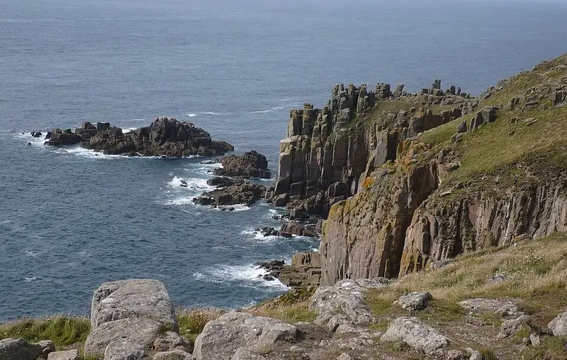
- Land's EndLand's End is a headland and tourist and holiday complex in western Cornwall, England, United Kingdom, on the Penwith peninsula about eight miles west-south-west of Penzance at the western end of the A30 road.14 km
Land's End
Day 3 · 14 km from Penzance
Land's End is a headland and tourist and holiday complex in western Cornwall, England, United Kingdom, on the Penwith peninsula about eight miles west-south-west of Penzance at the western end of the A30 road.
Wikipedia · Jakemete · CC BY 3.0
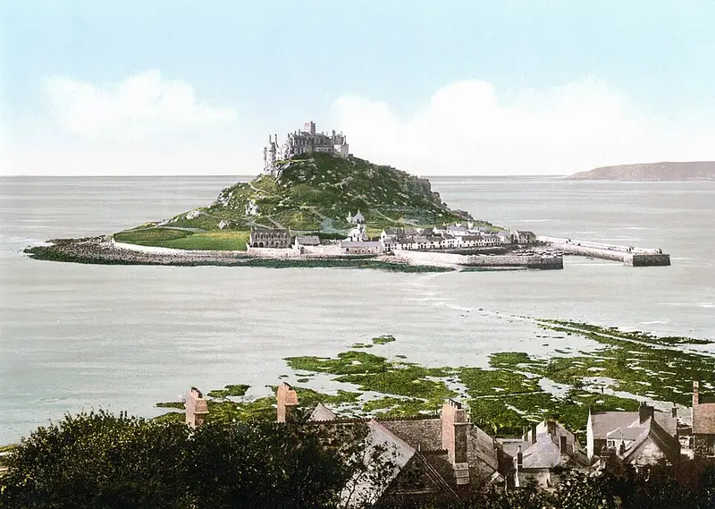
- St Michael's MountSt Michael's Mount is a tidal island in Mount's Bay, near Penzance, in Cornwall, England.4 km
St Michael's Mount
Day 3 · 4 km from Penzance
St Michael's Mount is a tidal island in Mount's Bay, near Penzance, in Cornwall, England.
Wikipedia · Unknown authorUnknown author · Public domain
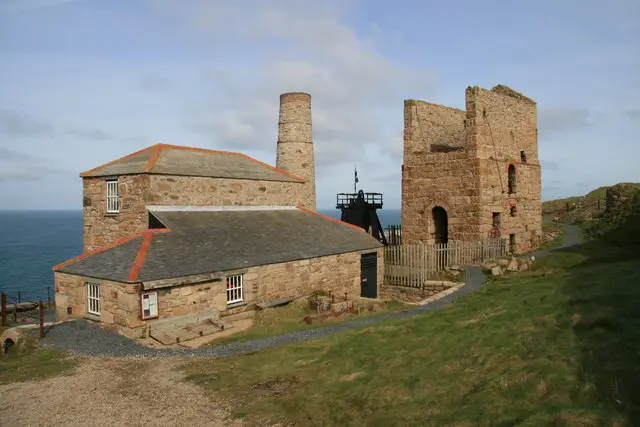
- Cornwall and West Devon Mining LandscapeThe Cornwall and West Devon Mining Landscape is a World Heritage Site which includes select mining landscapes in Cornwall and West Devon in the south west of England.11 km
Cornwall and West Devon Mining Landscape
Day 3 · 11 km from Penzance
The Cornwall and West Devon Mining Landscape is a World Heritage Site which includes select mining landscapes in Cornwall and West Devon in the south west of England.
Wikipedia · John Gibson · CC BY-SA 2.0
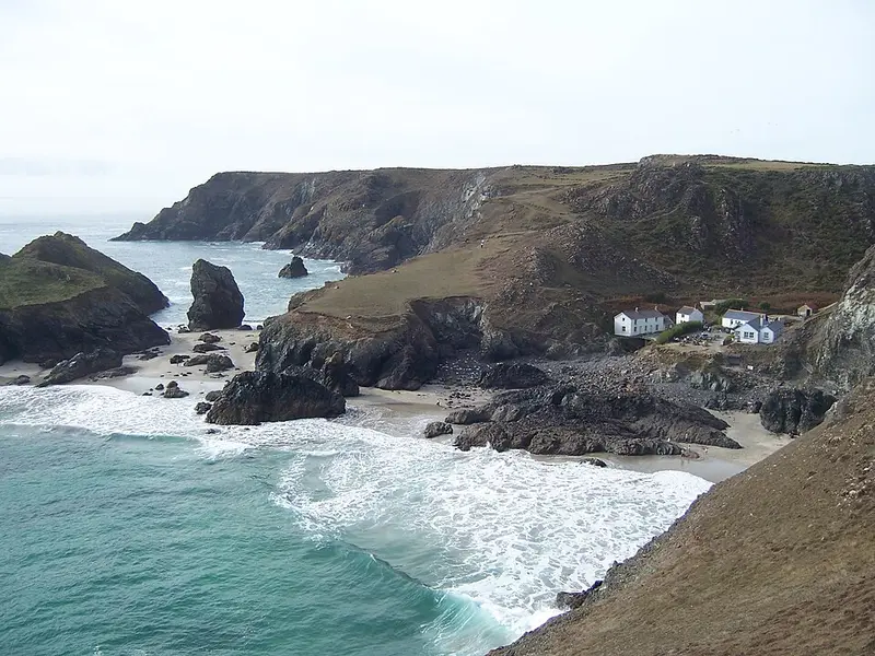
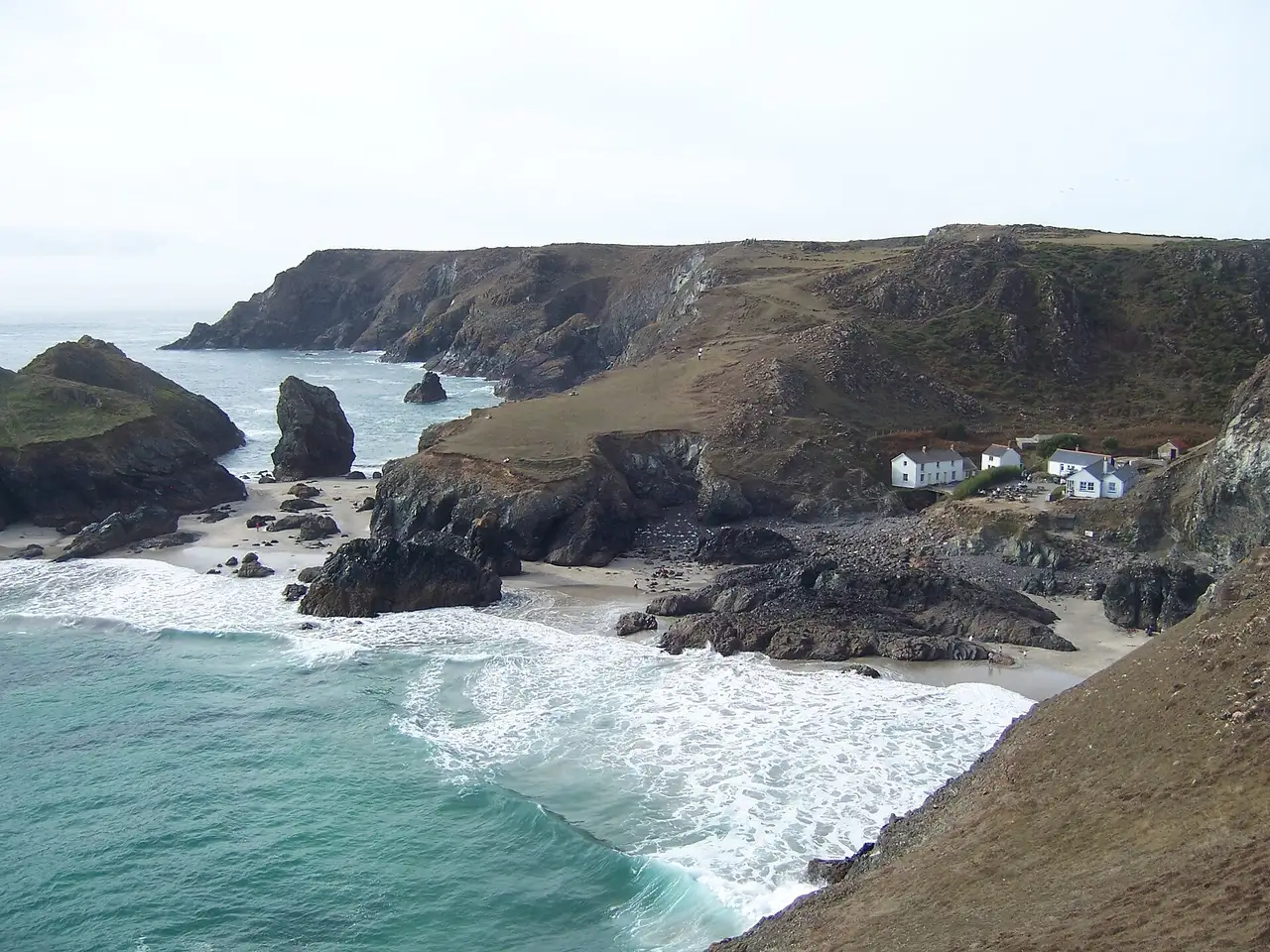
- The LizardThe Lizard is a peninsula in southern Cornwall, England, United Kingdom.27 km
The Lizard
Day 3 · 27 km from Penzance
The Lizard is a peninsula in southern Cornwall, England, United Kingdom.
Wikipedia · Tommytrouble at English Wikipedia · Public domain