 Carsten Steger · CC BY-SA 4.0
to Brittany
Walled port, granite coast and crêpes
7 days · 597 km · with a caravan, two people
Real routes and published prices — no guesses
- Fuel€13357 litres at an average €2.35 a litre
- Price per litre on the wayFrance €2.36 · United Kingdom €2.36
- Newhaven–Dieppe ferryprice on booking
- London Congestion Charge€21.25Car · 1 day
- 6 nights€130≈ €22 a night — every night is listed under “Where you'll sleep”
- Food€283≈ €40 a day for 7 days, cheap eats
Fuel: the EU Weekly Oil Bulletin, week of 2026-10-04. Tolls, vignettes and ferries: the operators' and authorities' published prices. Nights and food: typical prices in each country for the kind chosen.
- Newhaven–Dieppe ferryprice on bookingDFDS · about 4 h on board · The operator's prices
- London Congestion Charge€21.25
- Low-emission zoneLondon: ULEZ — £12.50/day if non-compliant (covers all Greater London)
Only official sellers are linked.
- Night 1 · Uckfield · 22 km from Brighton€21The Caravan And Caravanning Club · motorhome stop
- Night 2 · Alfriston · 7 km from Newhaven€21Alfriston Camping Park · motorhome stop
- Night 3 · Dieppe€22Aire Pollet à Dieppe · motorhome stop
- Night 4 · Saint-Malo€22Camping de la Cité d'Alet · campsite
- Night 5 · Saint-Malo€22Camping de la Cité d'Alet · campsite
- Night 6 · Saint-Malo€22Camping de la Cité d'Alet · campsite
Priced for campsites: typical prices in each country, not a booking.
Sources: EU weekly fuel bulletin · operators' published tariffs · Wikipedia · map © OpenStreetMap contributors
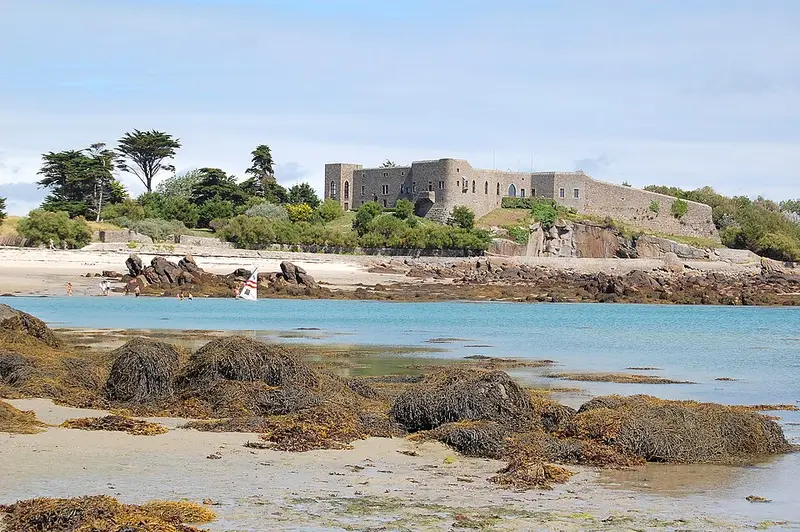
- ChauseyChausey is a group of small islands, islets and rocks off the coast of Normandy, in the English Channel.30 km
Chausey
Day 5 · 30 km from Saint-Malo
Chausey is a group of small islands, islets and rocks off the coast of Normandy, in the English Channel.
Wikipedia · Pline · CC BY-SA 3.0
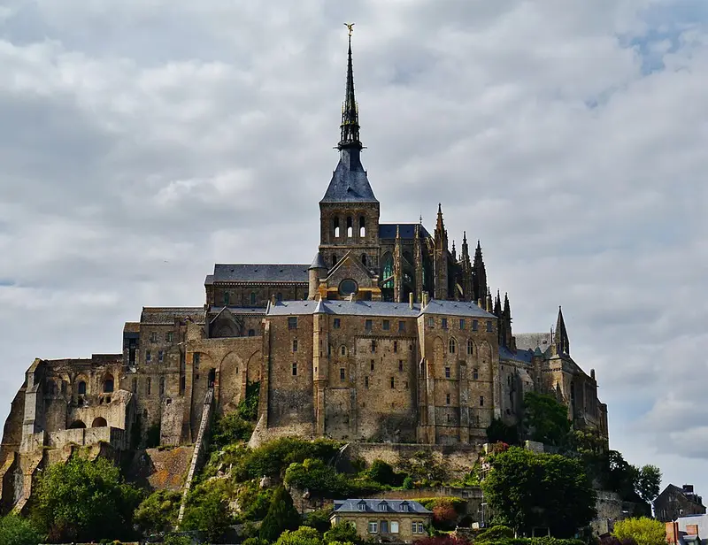
- Mont-Saint-Michel AbbeyThe Mont-Saint-Michel Abbey is an abbey located within the city and island of Mont-Saint-Michel in Normandy, in the department of Manche.38 km
Mont-Saint-Michel Abbey
Day 5 · 38 km from Saint-Malo
The Mont-Saint-Michel Abbey is an abbey located within the city and island of Mont-Saint-Michel in Normandy, in the department of Manche.
Wikipedia · Zairon · CC BY-SA 4.0
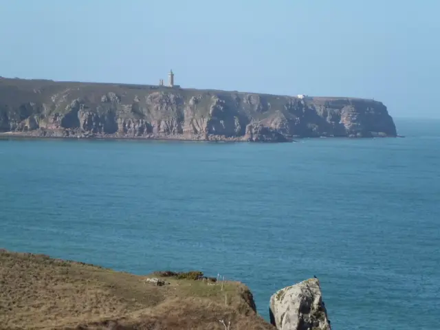
- Cap FréhelCap Fréhel is a peninsula in Côtes-d'Armor, in northern Brittany, France which extends off the Côte d'Émeraude into the Bay of Saint-Malo.22 km
Cap Fréhel
Day 5 · 22 km from Saint-Malo
Cap Fréhel is a peninsula in Côtes-d'Armor, in northern Brittany, France which extends off the Côte d'Émeraude into the Bay of Saint-Malo.
Wikipedia · Nortmannus · CC BY-SA 3.0