 Sémhur · CC BY-SA 4.0
to Dordogne
Castles on cliffs above the river
14 days · 1,307 km · with a caravan, two people
Real routes and published prices — no guesses
- Fuel€292124 litres at an average €2.35 a litre
- Price per litre on the wayFrance €2.35 · United Kingdom €2.35
- Motorway tolls in France€4.55A13
- Motorway tolls in France≈ €40An allowance: 241 tolled km at the country's usual rate — we don't hold its published tariff yet.
- Dartford Crossing€4.13Class B: car (including when towing a trailer), motorhome, or minibus with 9 seats or fewer
- Dover–Calais ferryprice on booking
- 13 nights€285≈ €22 a night — every night is listed under “Where you'll sleep”
- Food€567≈ €40 a day for 14 days, cheap eats
Fuel: the EU Weekly Oil Bulletin, week of 2026-10-18. Tolls, vignettes and ferries: the operators' and authorities' published prices. Nights and food: typical prices in each country for the kind chosen.
- Dover–Calais ferryprice on bookingDFDS / P&O Ferries / Irish Ferries · about 1.7 h on board · The operator's prices
- Motorway tolls in France€4.55Paid on the road: A13
- Motorway tolls in France≈ €40An allowance: 241 tolled km at the country's usual rate — we don't hold its published tariff yet.
- Dartford Crossing€4.13
- Low-emission zoneLondon: ULEZ — £12.50/day if non-compliant (covers all Greater London)
- On the roadIn the French mountains, 1 November – 31 March, the signed communes of 34 departments want four 3PMSF tyres, or chains or snow socks for two driven wheels in the car.
Only official sellers are linked.
- Night 1 · Whitfield · 6 km from Dover€21Campsite / aire near Whitfield · campsite
- Night 2 · Aumale · 22 km from Neufchâtel-en-Bray€22Camping Municipal Le Grand Mail · campsite
- Night 3 · Lamotte-Beuvron€22Aire de services pour camping-car Lamotte-Beuvron · motorhome stop
- Night 4 · Sarlat-la-Canéda€22Huttopia Sarlat-a-Caneda · campsite
- Night 5 · Sarlat-la-Canéda€22Huttopia Sarlat-a-Caneda · campsite
- Night 6 · Sarlat-la-Canéda€22Huttopia Sarlat-a-Caneda · campsite
- Night 7 · Sarlat-la-Canéda€22Huttopia Sarlat-a-Caneda · campsite
- Night 8 · Sarlat-la-Canéda€22Huttopia Sarlat-a-Caneda · campsite
- Night 9 · Sarlat-la-Canéda€22Huttopia Sarlat-a-Caneda · campsite
- Night 10 · Sarlat-la-Canéda€22Huttopia Sarlat-a-Caneda · campsite
- Night 11 · Sarlat-la-Canéda€22Huttopia Sarlat-a-Caneda · campsite
- Night 12 · Sarlat-la-Canéda€22Huttopia Sarlat-a-Caneda · campsite
- Night 13 · Sarlat-la-Canéda€22Huttopia Sarlat-a-Caneda · campsite
Priced for campsites: typical prices in each country, not a booking.
Sources: EU weekly fuel bulletin · operators' published tariffs · Wikipedia · map © OpenStreetMap contributors
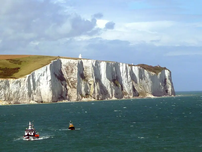
- White Cliffs of DoverThe White Cliffs of Dover are the region of English coastline facing the Strait of Dover and France.338 km
White Cliffs of Dover
Day 2 · 9 km after last night's stop
The White Cliffs of Dover are the region of English coastline facing the Strait of Dover and France.
Wikipedia · Immanuel Giel · CC BY-SA 3.0
- Palace of VersaillesThe Palace of Versailles is a château and historic monument in Versailles in the Yvelines department of France, southwest of Paris.759 km
Palace of Versailles
Day 3 · 206 km into the day · a lunch stop
The Palace of Versailles is a château and historic monument in Versailles in the Yvelines department of France, southwest of Paris.
Wikipedia · ToucanWings · CC BY-SA 3.0
- LascauxLascaux is a network of caves near the village of Montignac, in the department of Dordogne in southwestern France.19 km
Lascaux
Day 5 · 19 km from Sarlat-la-Canéda
Lascaux is a network of caves near the village of Montignac, in the department of Dordogne in southwestern France.
Wikipedia · EU · Public domain
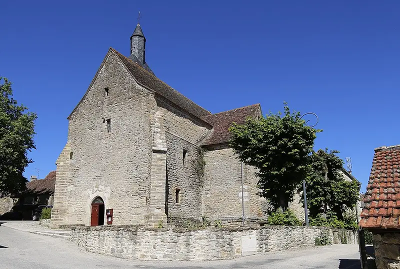
- Rignac, LotRignac is a commune in the Lot department in south-western France.38 km
Rignac, Lot
Day 5 · 38 km from Sarlat-la-Canéda
Rignac is a commune in the Lot department in south-western France.
Wikipedia · Pymouss · CC BY-SA 3.0
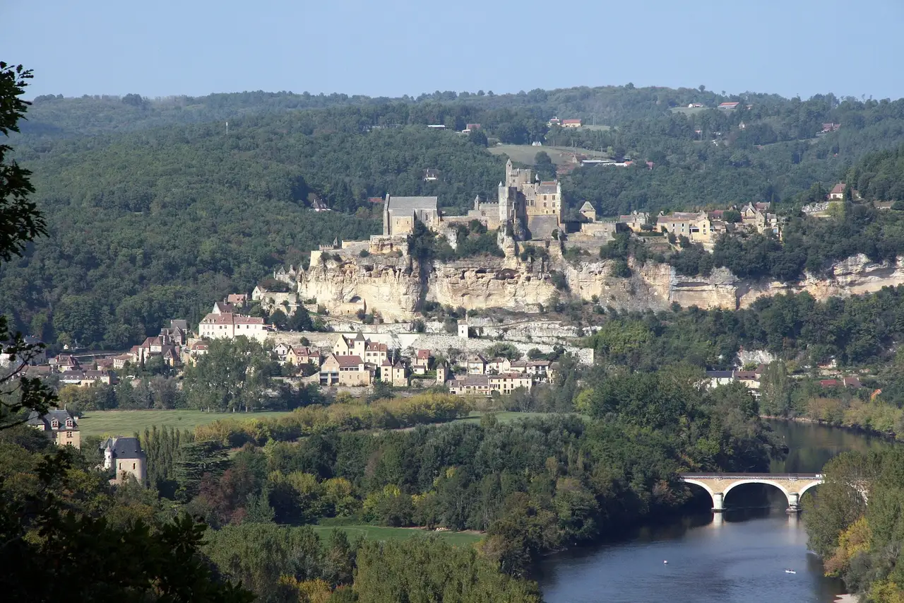
- Prehistoric Sites and Decorated Caves of the Vézère ValleyThe Prehistoric Sites and Decorated Caves of the Vézère Valley is a UNESCO World Heritage Site in France since 1979. It specifically lists 15 prehistoric sites in the Vézère valley in the Dordogne department, mostly in and around Les Eyzies-de-Tayac-Sireuil, which has been called the "Capital of Prehistory".19 km
Prehistoric Sites and Decorated Caves of the Vézère Valley
Day 5 · 19 km from Sarlat-la-Canéda
The Prehistoric Sites and Decorated Caves of the Vézère Valley is a UNESCO World Heritage Site in France since 1979. It specifically lists 15 prehistoric sites in the Vézère valley in the Dordogne department, mostly in and around Les Eyzies-de-Tayac-Sireuil, which has been called the "Capital of Prehistory".
Wikipedia · EU · Public domain
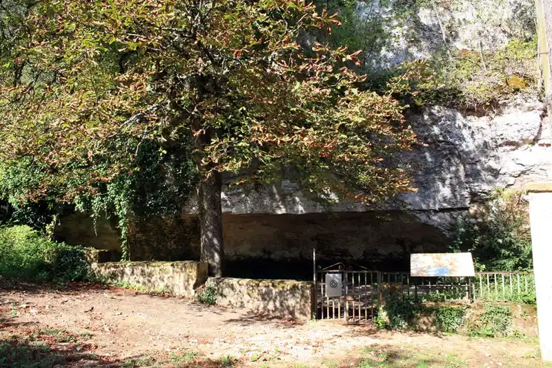
- Cro-Magnon rock shelterCro-Magnon is an Aurignacian site, located in a rock shelter in the commune of Les Eyzies, Dordogne, southwestern France.17 km
Cro-Magnon rock shelter
Day 5 · 17 km from Sarlat-la-Canéda
Cro-Magnon is an Aurignacian site, located in a rock shelter in the commune of Les Eyzies, Dordogne, southwestern France.
Wikipedia · 120 · CC BY-SA 3.0