 Bracodbk · CC BY-SA 3.0
to Dubrovnik
Walled city at the end of the Adriatic road
14 days · 1,862 km · by car, two people
Real routes and published prices — no guesses
- Fuel€222112 litres at an average €1.99 a litre
- Price per litre on the waySlovenia €1.76 · Croatia €1.83 · Austria €1.84 · Germany €2.20
- Motorway tolls in Croatia€36.80A1, A2, A4
- Austrian motorway vignette€32Vehicle up to 3.5 t · 2 months
- Slovenian e-vignette€32Car / campervan ≤ 3.5 t (class 2A) · 1 month
- 13 nights€906≈ €70 a night — every night is listed under “Where you'll sleep”
- Food€531≈ €38 a day for 14 days, cheap eats
Fuel: the EU Weekly Oil Bulletin, week of 2026-10-04. Tolls, vignettes and ferries: the operators' and authorities' published prices. Nights and food: typical prices in each country for the kind chosen.
- Vignette for Austria€322 months · Vehicle up to 3.5 t · Buy it from the official seller
- Vignette for Slovenia€321 month · Car / campervan ≤ 3.5 t (class 2A) · Buy it from the official seller
- Motorway tolls in Croatia€36.80Paid on the road: A1, A2, A4
- Low-emission zoneCologne: Umweltzone (green Umweltplakette)
- Low-emission zoneFrankfurt: Umweltzone (green Umweltplakette)
Only official sellers are linked.
- Night 1 · Nürnberg€80Cristal · hotel
- Night 2 · Mautern in Steiermark · 20 km from Leoben€78Haus Bischof · guesthouse
- Night 3 · Otočac€68Park · hotel
- Night 4 · Zaton · 5 km from Dubrovnik€68Villa Plantis · guesthouse
- Night 5 · Zaton · 5 km from Dubrovnik€68Villa Plantis · guesthouse
- Night 6 · Zaton · 5 km from Dubrovnik€68Villa Plantis · guesthouse
- Night 7 · Zaton · 5 km from Dubrovnik€68Villa Plantis · guesthouse
- Night 8 · Zaton · 5 km from Dubrovnik€68Villa Plantis · guesthouse
- Night 9 · Zaton · 5 km from Dubrovnik€68Villa Plantis · guesthouse
- Night 10 · Zaton · 5 km from Dubrovnik€68Villa Plantis · guesthouse
- Night 11 · Zaton · 5 km from Dubrovnik€68Villa Plantis · guesthouse
- Night 12 · Zaton · 5 km from Dubrovnik€68Villa Plantis · guesthouse
- Night 13 · Zaton · 5 km from Dubrovnik€68Villa Plantis · guesthouse
Priced for budget hotels: typical prices in each country, not a booking.
Sources: EU weekly fuel bulletin · operators' published tariffs · Wikipedia · map © OpenStreetMap contributors
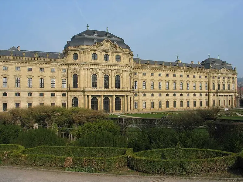
- Würzburg ResidenceThe Würzburg Residence is a palace in Würzburg, Germany. Johann Lukas von Hildebrandt and Maximilian von Welsch, representatives of the Austrian/Southern German Baroque style, were involved in the construction, as well as Robert de Cotte and Germain Boffrand, who were followers of the French style.314 km
Würzburg Residence
Day 1 · 111 km before tonight's stop
The building was reportedly called the "largest parsonage in Europe" by Napoleon.
Wikipedia · Wolfram Esser · CC BY-SA 3.0
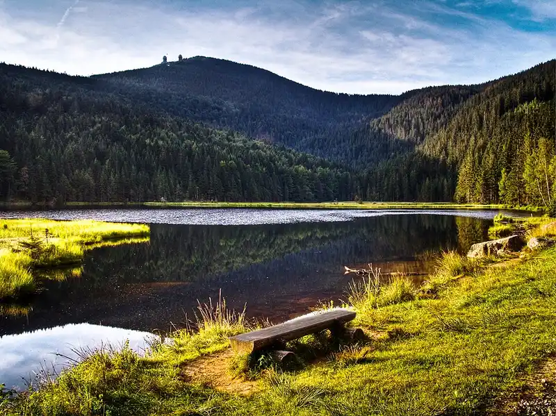
- Bavarian ForestThe Bavarian Forest is a wooded, low-mountain region in Bavaria, Germany, that is about 100 kilometres long.587 km
Bavarian Forest
Day 2 · 162 km into the day · a morning stop
The highest mountain in the region is the Großer Arber.
Wikipedia · Thomas Euler from Wermelskirchen, Germany · CC BY-SA 2.0
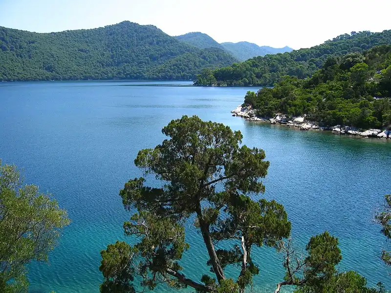
- MljetMljet is the southernmost and easternmost of the larger Adriatic islands of the Dalmatia region of Croatia, known also as Croatia's "greenest island".1,778 km
Mljet
Day 4 · 84 km before tonight's stop
Mljet is the southernmost and easternmost of the larger Adriatic islands of the Dalmatia region of Croatia, known also as Croatia's "greenest island".
Wikipedia · Neoneo13 · Public domain
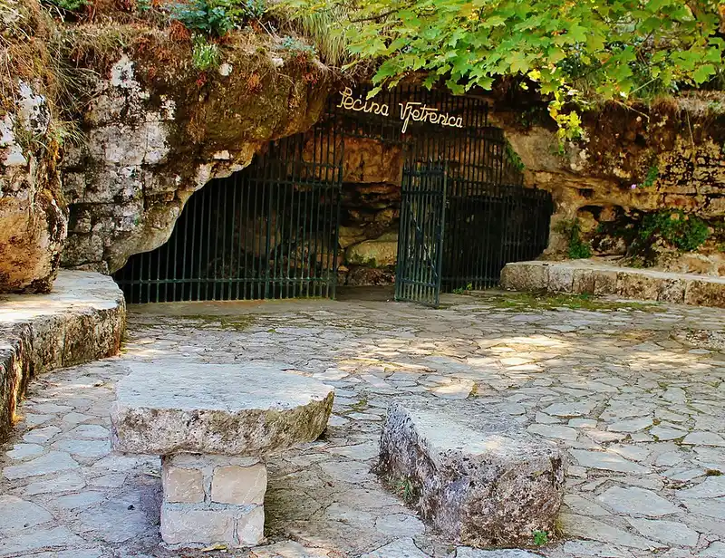
- Vjetrenica CaveVjetrenica is the largest cave in Bosnia and Herzegovina, and the most biodiverse cave in the world.24 km
Vjetrenica Cave
Day 5 · 24 km from Dubrovnik
Vjetrenica is the largest cave in Bosnia and Herzegovina, and the most biodiverse cave in the world.
Wikipedia · InDoRoN · CC BY-SA 3.0
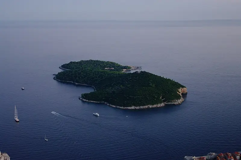
- LokrumLokrum is an island in the Adriatic Sea 600 metres from the city of Dubrovnik, Croatia.3 km
Lokrum
Day 5 · 3 km from Dubrovnik
Lokrum is an island in the Adriatic Sea 600 metres from the city of Dubrovnik, Croatia.
Wikipedia · Timur Voronkov · Public domain
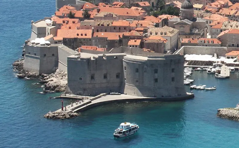
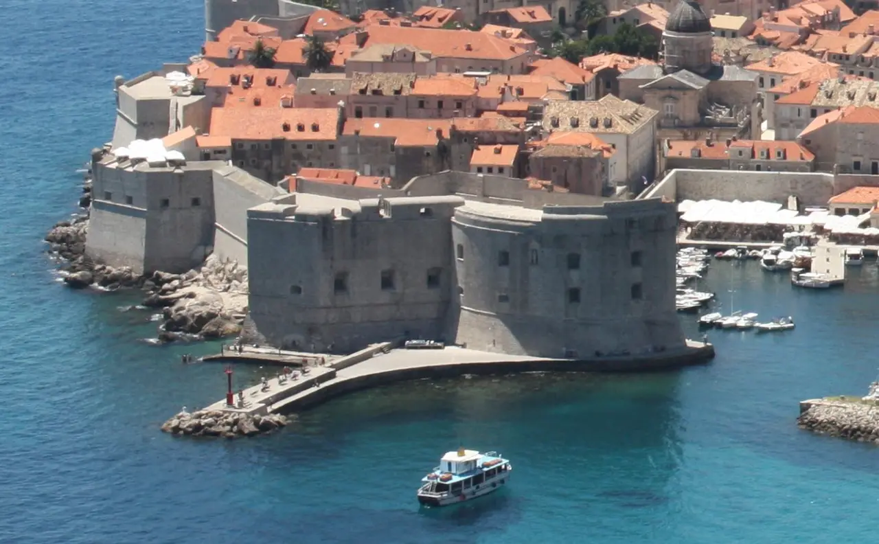
- Walls of DubrovnikThe Walls of Dubrovnik are a series of defensive stone walls surrounding the city of Dubrovnik in southern Croatia.2 km
Walls of Dubrovnik
Day 5 · 2 km from Dubrovnik
The Walls of Dubrovnik are a series of defensive stone walls surrounding the city of Dubrovnik in southern Croatia.
Wikipedia · Bracodbk · CC BY-SA 3.0