 Bracodbk · CC BY-SA 3.0
to Dubrovnik
Walled city at the end of the Adriatic road
14 days · 2,020 km · by car, two people
Real routes and published prices — no guesses
- Fuel€246121 litres at an average €2.03 a litre
- Price per litre on the waySlovenia €1.76 · Croatia €1.83 · Austria €1.84 · Germany €2.20
- Motorway tolls in Croatia€34.79A1, A2, A4
- Austrian motorway vignette€32Vehicle up to 3.5 t · 2 months
- Slovenian e-vignette€32Car / campervan ≤ 3.5 t (class 2A) · 1 month
- 13 nights€918≈ €71 a night — every night is listed under “Where you'll sleep”
- Food€535≈ €38 a day for 14 days, cheap eats
Fuel: the EU Weekly Oil Bulletin, week of 2026-10-04. Tolls, vignettes and ferries: the operators' and authorities' published prices. Nights and food: typical prices in each country for the kind chosen.
- Vignette for Austria€322 months · Vehicle up to 3.5 t · Buy it from the official seller
- Vignette for Slovenia€321 month · Car / campervan ≤ 3.5 t (class 2A) · Buy it from the official seller
- Motorway tolls in Croatia€34.79Paid on the road: A1, A2, A4
- Low-emission zoneHamburg: Diesel-Durchfahrtsverbote (older diesel bans on some streets)
Only official sellers are linked.
- Night 1 · Wahlshausen · 19 km from Friedlos€80Pension Maurer · guesthouse
- Night 2 · Neutraubling€80Pension am Pfarrsaal · guesthouse
- Night 3 · Gratwein-Straßengel€78Raddörfl · hotel
- Night 4 · Gospić€68Hotel Stara Lika · hotel
- Night 5 · Zaton · 6 km from Dubrovnik€68Villa Lanterna · guesthouse
- Night 6 · Zaton · 6 km from Dubrovnik€68Villa Lanterna · guesthouse
- Night 7 · Zaton · 6 km from Dubrovnik€68Villa Lanterna · guesthouse
- Night 8 · Zaton · 6 km from Dubrovnik€68Villa Lanterna · guesthouse
- Night 9 · Zaton · 6 km from Dubrovnik€68Villa Lanterna · guesthouse
- Night 10 · Zaton · 6 km from Dubrovnik€68Villa Lanterna · guesthouse
- Night 11 · Zaton · 6 km from Dubrovnik€68Villa Lanterna · guesthouse
- Night 12 · Zaton · 6 km from Dubrovnik€68Villa Lanterna · guesthouse
- Night 13 · Zaton · 6 km from Dubrovnik€68Villa Lanterna · guesthouse
Priced for budget hotels: typical prices in each country, not a booking.
Sources: EU weekly fuel bulletin · operators' published tariffs · Wikipedia · map © OpenStreetMap contributors
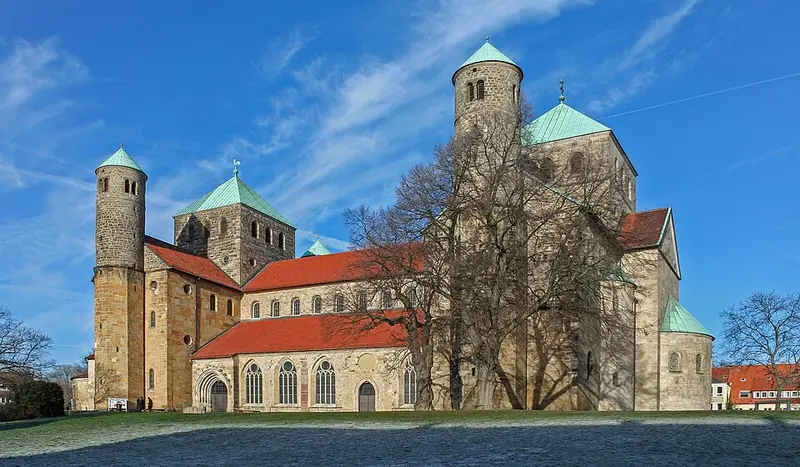
- St. Michael's Church, HildesheimThe Church of St. Michael is an early-Romanesque church located in Hildesheim, Germany.203 km
St. Michael's Church, Hildesheim
Day 1 · 203 km into the day · a lunch stop
The Church of St. Michael is an early-Romanesque church located in Hildesheim, Germany.
Wikipedia · Heinz-Josef Lücking · CC BY-SA 3.0 de
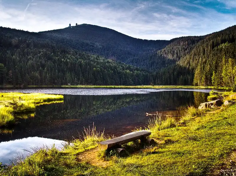
- Bavarian ForestThe Bavarian Forest is a wooded, low-mountain region in Bavaria, Germany, that is about 100 kilometres long.807 km
Bavarian Forest
Day 3 · 57 km into the day · a morning stop
The highest mountain in the region is the Großer Arber.
Wikipedia · Thomas Euler from Wermelskirchen, Germany · CC BY-SA 2.0
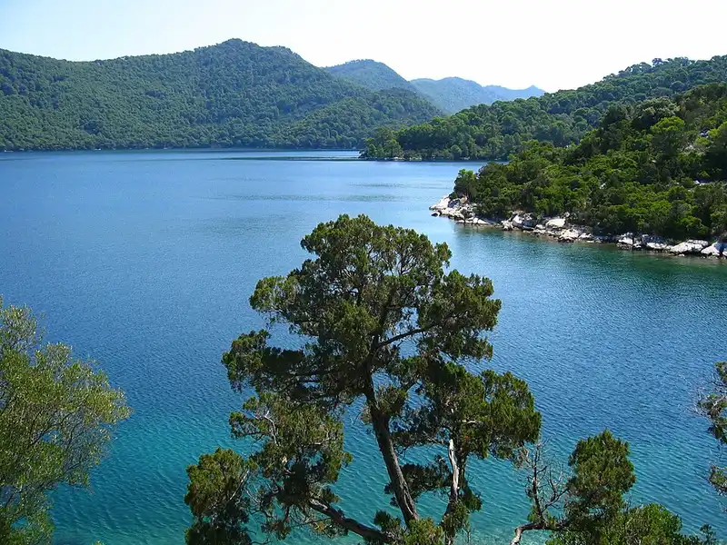
- MljetMljet is the southernmost and easternmost of the larger Adriatic islands of the Dalmatia region of Croatia, known also as Croatia's "greenest island".1,956 km
Mljet
Day 5 · 62 km before tonight's stop
Mljet is the southernmost and easternmost of the larger Adriatic islands of the Dalmatia region of Croatia, known also as Croatia's "greenest island".
Wikipedia · Neoneo13 · Public domain
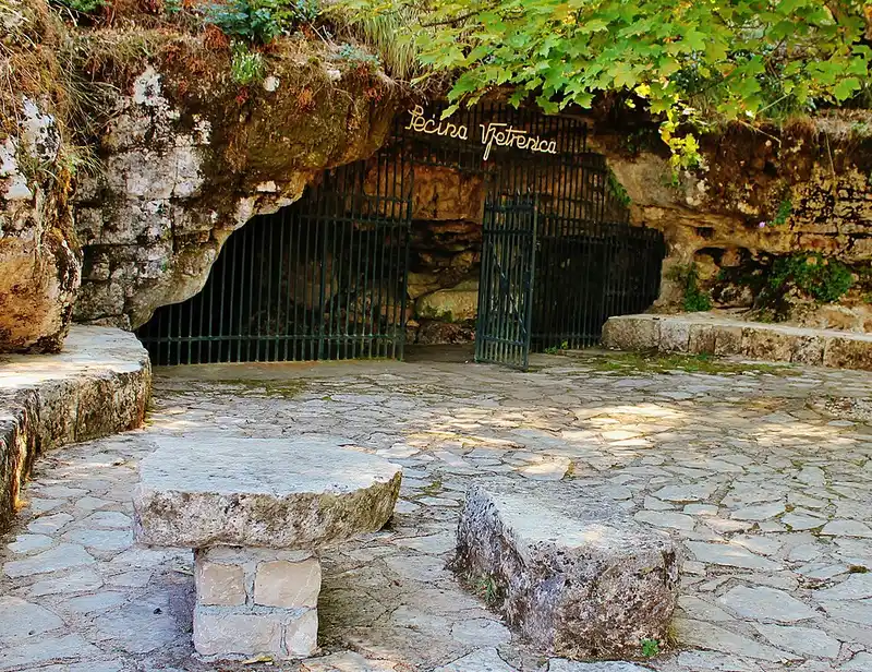
- Vjetrenica CaveVjetrenica is the largest cave in Bosnia and Herzegovina, and the most biodiverse cave in the world.24 km
Vjetrenica Cave
Day 6 · 24 km from Dubrovnik
Vjetrenica is the largest cave in Bosnia and Herzegovina, and the most biodiverse cave in the world.
Wikipedia · InDoRoN · CC BY-SA 3.0
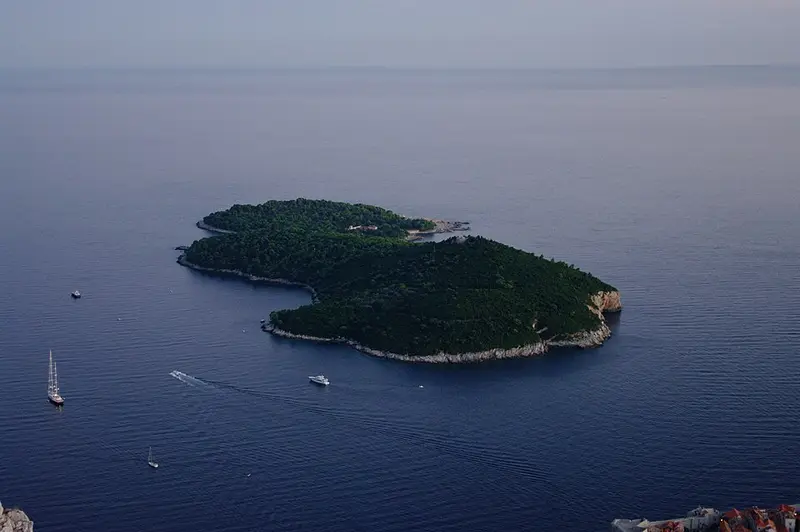
- LokrumLokrum is an island in the Adriatic Sea 600 metres from the city of Dubrovnik, Croatia.3 km
Lokrum
Day 6 · 3 km from Dubrovnik
Lokrum is an island in the Adriatic Sea 600 metres from the city of Dubrovnik, Croatia.
Wikipedia · Timur Voronkov · Public domain
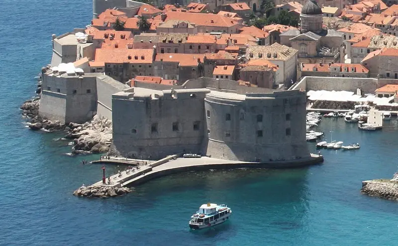
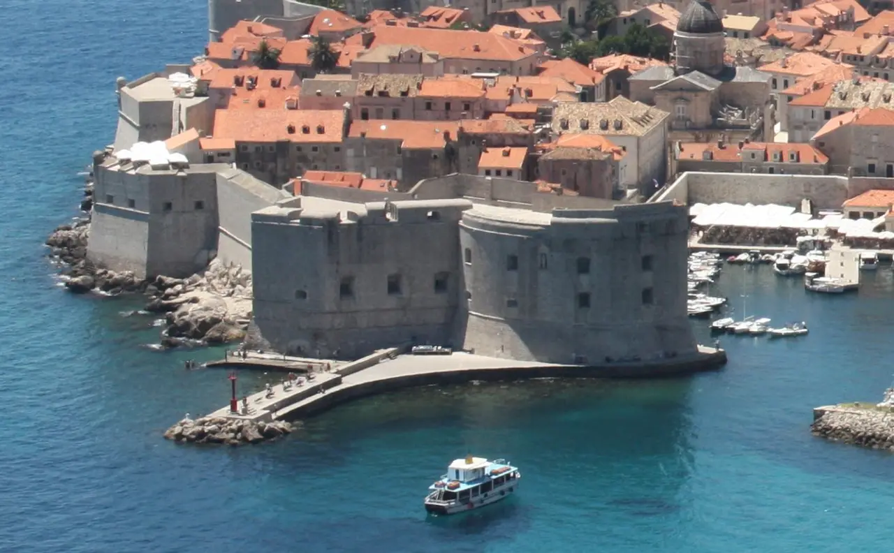
- Walls of DubrovnikThe Walls of Dubrovnik are a series of defensive stone walls surrounding the city of Dubrovnik in southern Croatia.2 km
Walls of Dubrovnik
Day 6 · 2 km from Dubrovnik
The Walls of Dubrovnik are a series of defensive stone walls surrounding the city of Dubrovnik in southern Croatia.
Wikipedia · Bracodbk · CC BY-SA 3.0